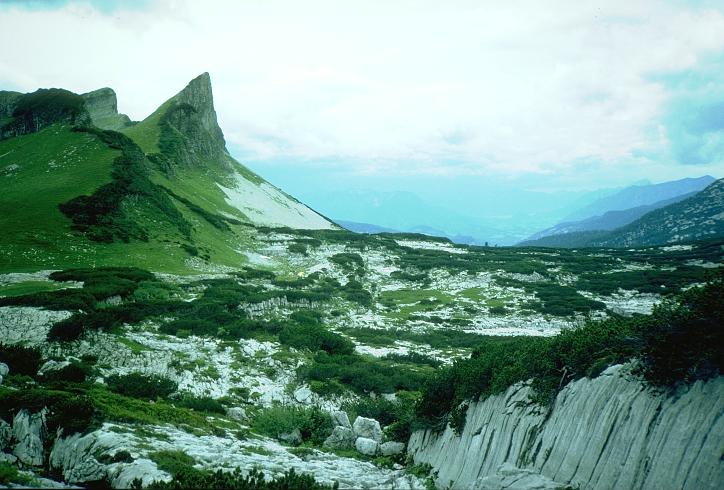

This view across the Loser plateau is from the walk-up to 161
(Kaninchenhöhle) on the Western slopes of the Schwarzmooskogels. From
here, the Bräuning Wall is seen almost edge-on. Top Camp is just
visible left of centre, below the wall. The far side of the plateau drops
into Grüne Bichl and the Rettenbach valley, and beyond the brewing
thunderstorm to the west is Bad Ischl.
Photo © Andy Waddington, 1993