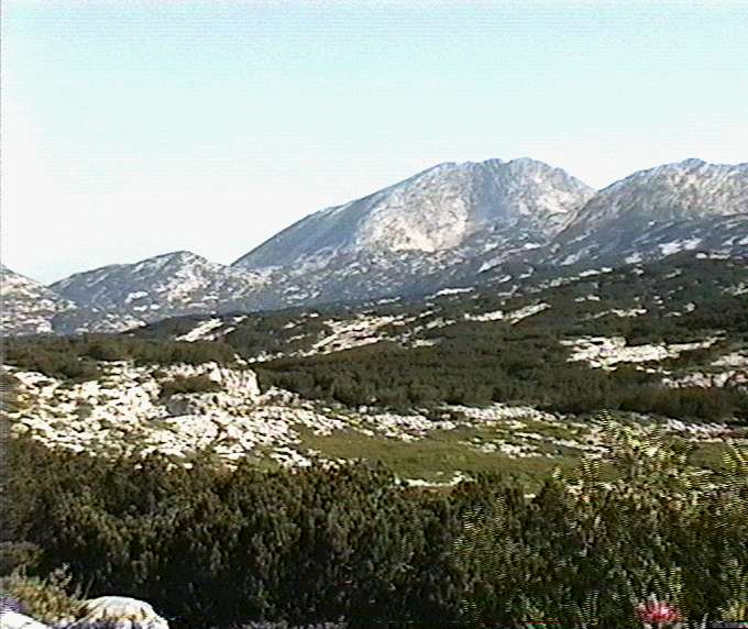

This is a view from just above Top Camp out across the western half of
the Loser-AugstEck Plateau, typical of the first view a new visitor gets (if
the weather is good). The highest peak is the Schönberg, marking the
edge of the 1623 kataster area, and the start of the adjacent 1626 area,
containing a number of very significant and deep caves.
Photo © Andy Waddington, 1995